Plugging the oil and gas industry’s methane gap
Posted: July 14, 2025
Methane, as most people will know by now, is one of the most potent greenhouse gases. Although it doesn’t linger in the atmosphere as long as carbon dioxide, it’s many times more effective at trapping heat.
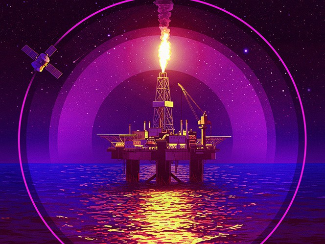
And yes, much of that methane is down to burping cows, manure and flooded rice fields. But, after agriculture, the energy sector is the biggest source of anthropogenic methane emissions worldwide, to the tune of more than 120 million tonnes per year.[1] A large share of that total comes from upstream oil and gas installations.
The good news is that monitoring of methane has improved markedly, and around 70% of oil and gas emissions could be avoided with existing technologies. Even better: much of that gas, instead of escaping through flaring and leaks, could be captured and sold.
“Tackling methane leaks and flaring offers a double dividend,” Fatih Birol, the executive director of the International Energy Agency, said earlier this year. It not only lowers emissions but lessens pressure on tight gas markets and boosts energy security.
Our Industrial Life
Get your bi-weekly newsletter sharing fresh perspectives on complicated issues, new technology, and open questions shaping our industrial world.
Why methane emissions are coming into focus
In fact, the IEA calculates that measures to tackle methane emissions could have cost-effectively brought an extra 100 billion cubic meters of gas to market last year—roughly equivalent to Norway’s entire gas exports. That means a large share of abatement efforts would have paid for themselves.
Aside from the financial benefits, compliance pressure is also rising. More than 150 countries, including the U.S. and most of Europe, have signed the Global Methane Pledge, a (non-binding) commitment to cut global emissions of the gas by 30% between 2020 and 2030.
This commitment has led some signatories to implement national targets: Canada has drafted regulations that would require methane emissions from oil and gas to drop by 75% by 2030. And last year, the E.U. enacted new legislation that requires the gas, oil and coal industries to measure, monitor, report and verify their methane emissions. It also includes a ban on routine flaring and venting starting February 2026.
But flaring and venting are not the only sources of methane emissions. To comply with the goals outlined in the Global Methane Pledge, companies will also have to get a handle on the other main source of oil and gas methane: fugitive emissions—in other words, leaks.[2] Luckily, there is now a wealth of data available to help companies better detect and plug those leaks.
The view from above: monitoring methane from space
Advanced methane detection ranges from on-the-ground sensors to drones, aircraft and satellites. The latter have especially taken off in recent years: there are now more than two dozen satellites that can detect methane in orbit. MethaneSat, developed by the non-profit Environmental Defense Fund and the New Zealand Space Agency, went up last year, and other launches are scheduled as soon as this summer.
Methane-detecting satellites generally work one of two ways, depending on their sensors. Some focus on monitoring broader emissions at global and regional scales. But others can zoom in on individual facilities at spatial resolutions of 1 km and below, keeping track of specific pipelines, refineries or production sites.
Much of that data is available open source, and energy companies have started integrating it into their own methane management. The Oil and Gas Climate Initiative, an industry group comprising a dozen energy company CEOs, has its own satellite monitoring campaign, for example.
For one of the campaign’s latest projects, the group worked with GHGSat, which combined insights from its own satellites with publicly available satellite data to record hundreds of high-resolution scans of 18 oil and gas sites in Algeria, Kazakhstan and Egypt over the span of a year.
OGCI says the project, through direct engagement, helped the operators eliminate methane plumes with a combined average rate of 3,200 kilograms an hour. The escaped methane mainly came from incomplete combustion at burning pits and gathering pipeline emissions, as well as venting from equipment and storage tanks.
The group says the effort is also casting wider ripples, beyond the direct reductions. “In Kazakhstan, we’ve seen that the campaign has facilitated best practice sharing and increased engagement with local operators—building capabilities and sharing expertise and solutions more broadly throughout the industry,” says Blair Blackwell, lower carbon advisor at OGCI member Chevron.
The group’s campaign has since more than doubled in terms of the number of assets and countries involved, including in Central Asia, North Africa and South America.
Tricky terrain: limitations of satellite-based methane detection
While space-based observations are transforming methane monitoring, it’s not as simple as pointing a satellite sensor anywhere on Earth.
Local conditions actually play a significant role: in a report released earlier this year, energy think tank Ember found that environmental factors heavily determine how effectively plumes can be seen from space.
For example, the low winter sun in high-latitude regions can provide too little light for satellite sensors, while dark forested or snow-covered surfaces reflect less of the infrared that satellites use to detect methane. More directly, high winds can disperse gas plumes and thick clouds can shield them from view.
Ember estimates that 30% of upstream coal and oil and gas infrastructure lies in regions that might be challenging to observe. Limitations like this are why experts say satellite monitoring is best used in combination with other technologies.
Some companies combine multiple approaches in one: Satelytics, a geospatial analytics provider that counts BP among its investors, combines data from satellites, drones and planes to get a more accurate picture (and says it can quantify methane emissions within 4 meters of the source).
Closer to the ground, and especially for smaller leaks from individual components, operators can use optical gas imaging cameras to locate hotspots before verifying them, for example with flow samplers. For wells and well pads, experts recommend road or aerial surveys, which can be performed using spectroscopy, laser-based systems, methane analysers, or tracer gas.[3]
Occasionally, the open-source aspect of methane monitoring flows the other way, too. Shell has started testing a proprietary AI solution to continuously monitor methane emissions at its own facilities, which uses wind and concentration data to calculate their origin and quantity. Last year, it decided to release the software, to encourage collaboration and accelerate innovation in the space.
One thing is certain: any effort to reduce methane emissions—whether for environmental reasons, regulatory compliance, or profit—starts with accurate, well-structured data.
[1] https://www.iea.org/news/methane-data-and-transparency-continue-to-improve-but-emissions-remain-far-too-high
[2] https://about.bnef.com/insights/nature-and-agriculture/the-oil-and-gas-industrys-methane-problem-in-four-charts/
[3] https://methaneguidingprinciples.org/wp-content/uploads/2023/09/MGP23_GMT_Measurement-technologies_info_annex-1.pdf